by Rite Technologies | | Agritech, Case Studies, Mobile & Field Data
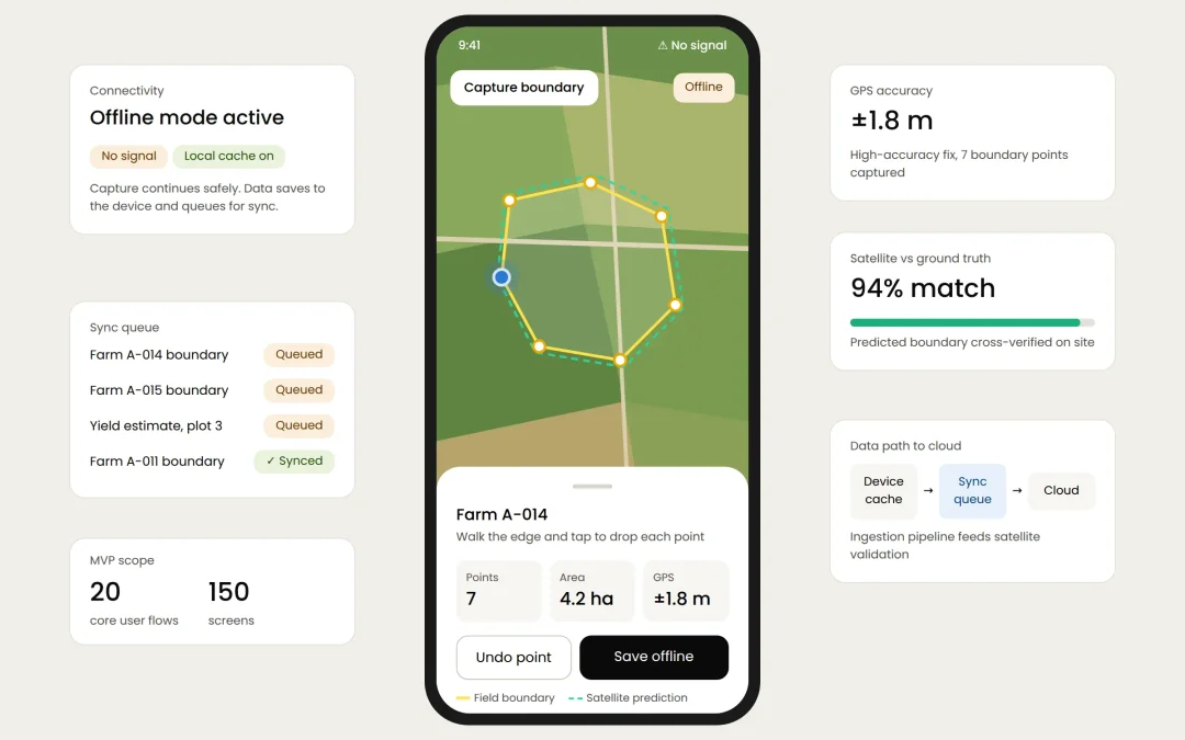
The Challenge The client, an agritech company, developed a platform that predicts crop details using satellite data, backed by an in-house IT team ready to build the software. However, they lacked a reliable, user-friendly mobile framework for ground-truth...